CNN
—
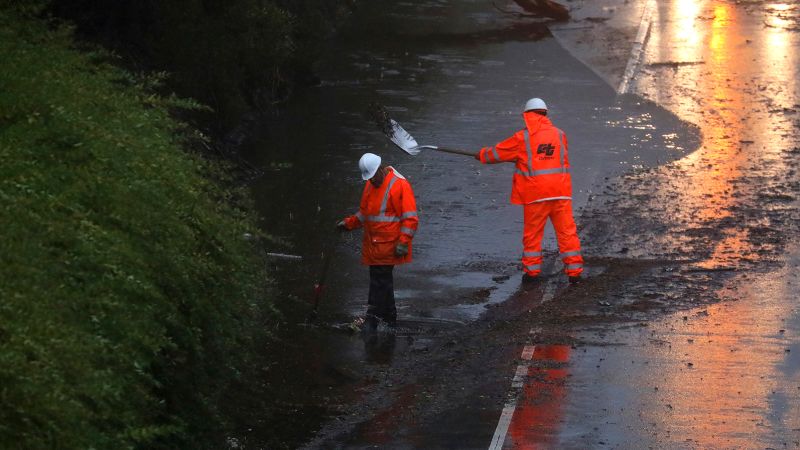
A strong storm system bringing heavy rain and mountain snow to much of the western United States has left more than 126,000 customers without power as the region braces for more weather woes in the days to come.
The blustering storm has left more than 86,000 customers without power in Oregon as of early Wednesday morning, according to outage tracker PowerOutage.us. Over 27,000 customers in Washington and more than 12,000 in California were also left in the dark.
The atmospheric river – a long, narrow region in the atmosphere that can transport moisture thousands of miles – is inundating the West as much of the Eastern US recovers from a deadly winter storm that left wide swaths of the country under dangerously cold temperatures.
All 11 Western states are under winter weather alerts Wednesday as several storm systems are expected to make their way across the region this week.
An initial round of lashing rain, wind and snow has moved inland and is expected to engulf the Inter-mountain West on Wednesday. Coastal states may experience a brief lull on Wednesday before more rounds of rain and snow sweep onshore at the end of the week.
“This unsettled weather pattern is expected to linger into the upcoming weekend as well,” the National Weather Center said.
More than 7 million people across the West remain under high wind alerts Wednesday as gusts could reach Category 1 hurricane levels.
Winds whipped above 100 mph in some cities on Tuesday, reaching Category 2 hurricane levels.
A gust of 107 mph was reported in Mount Hood, Oregon, and a 104 mph gust was recorded in North Bonneville, Washington.
Wind speeds between 80 and 90 mph were reported in multiple cities on Tuesday, including a gust of 90 mph in Walker, California.
Several rounds of moisture will inundate the West this week, bringing temporary relief to a region that is suffering under prolonged drought conditions.
Over 5 million people remain under flood watches across the Pacific Northwest on Wednesday.
Widespread rainfall totals of 2-4 inches are expected across the region over the next 5 days with isolated areas receiving up to 6 inches. Northern California could see rainfall totals of 4-7 inches with isolated higher amounts.
The first wave is currently impacting parts of southern California and the Four Corners region which includes parts of Colorado, Utah, Arizona and New Mexico. Low elevation rainfall and high elevation snowfall will move out of California by late Wednesday morning but remain in the Four Corners area until Thursday.

Avalanche alerts have been issued for parts of Idaho, Colorado and Montana due to strong winds combined with heavy snowfall.
Lower elevations across the West could see 5-day snowfall totals of 2-8 inches, with some areas getting as much as a foot. More mountainous high elevations are forecast to receive 1-3 feet of snowfall with isolated areas getting over 3 feet.
California’s snowpack could benefit from the storms. The state’s snowpack – a critical source of water that has suffered under severe drought – was running more than 150% of normal levels late last week, according to the California Department of Water Resources.


More News
Iran is confronting a volatile world, at home and abroad.
How a Crackdown on Haitians Lifted a Dominican Leader’s Re-Election Bid
The French Don’t Snack. They Apéro.